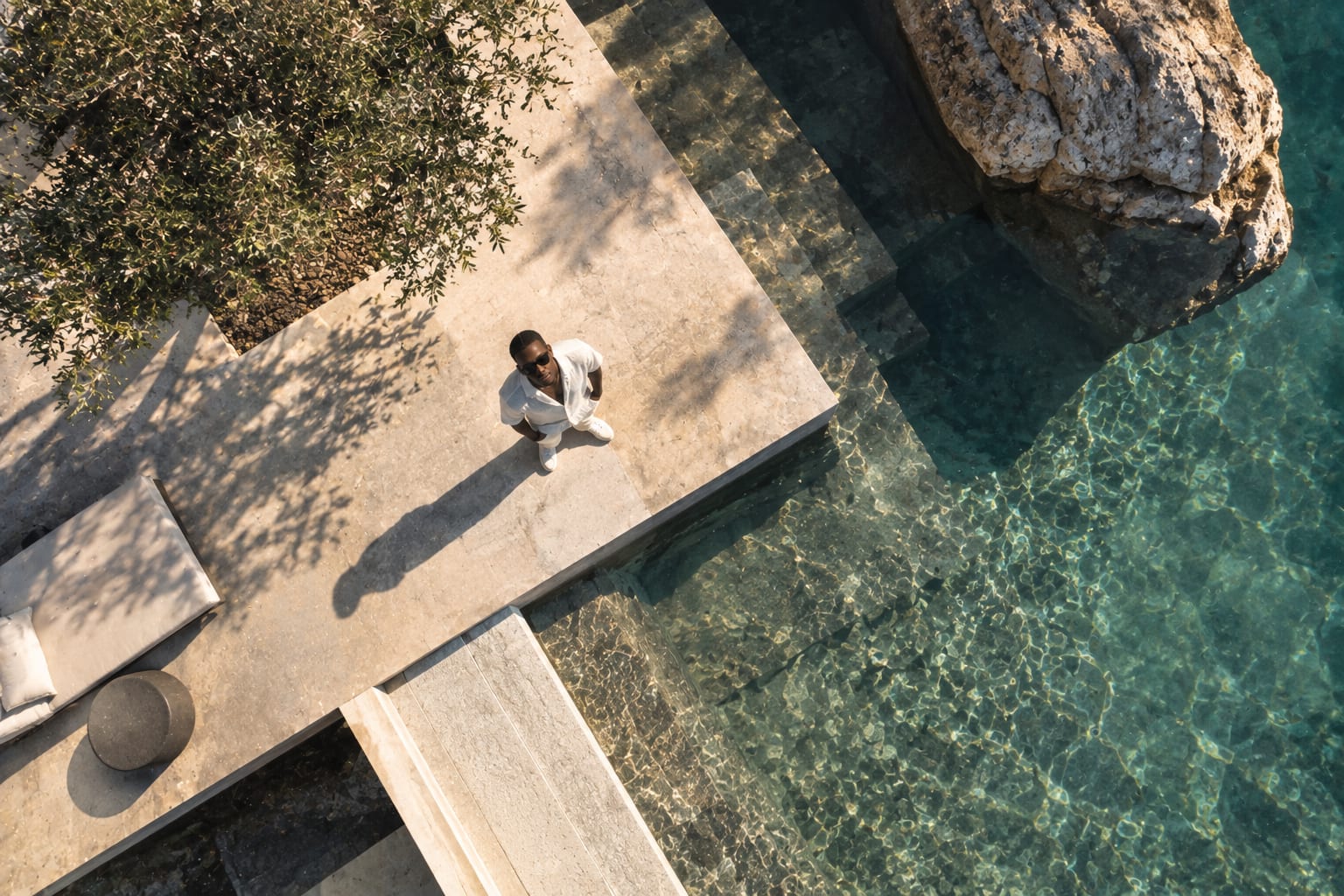
Aerial is a high angle with the ground taken away from under the viewer. Nobody stands there, so the picture belongs to no one, and that is its authority: it shows the whole pattern, the whole coastline, the whole plan, at a scale no person can see. It is the establishing view of the age, and the most instantly recognisable camera position of the last decade.
Try it
Move the strength and the camera moves. Change the lens and the field of view changes. Pick a subject and the direction is written for it.
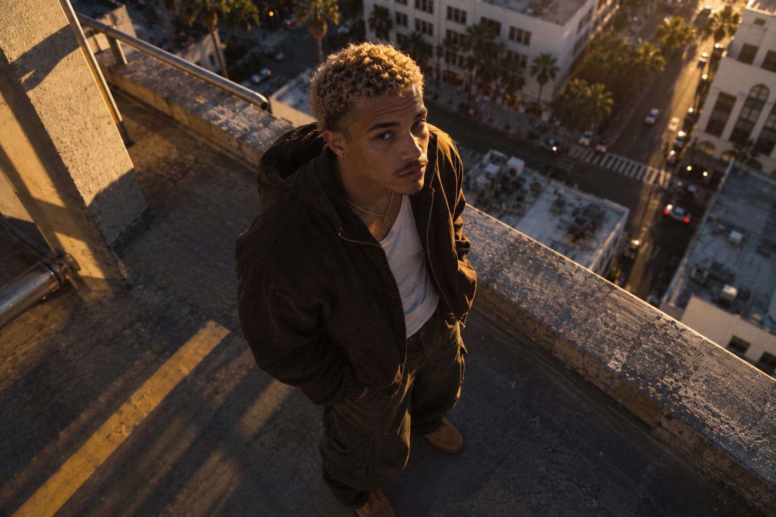
0% · Rooftop oblique. Camera at roof height, about 20 degrees down; buildings still read as objects with visible facades.
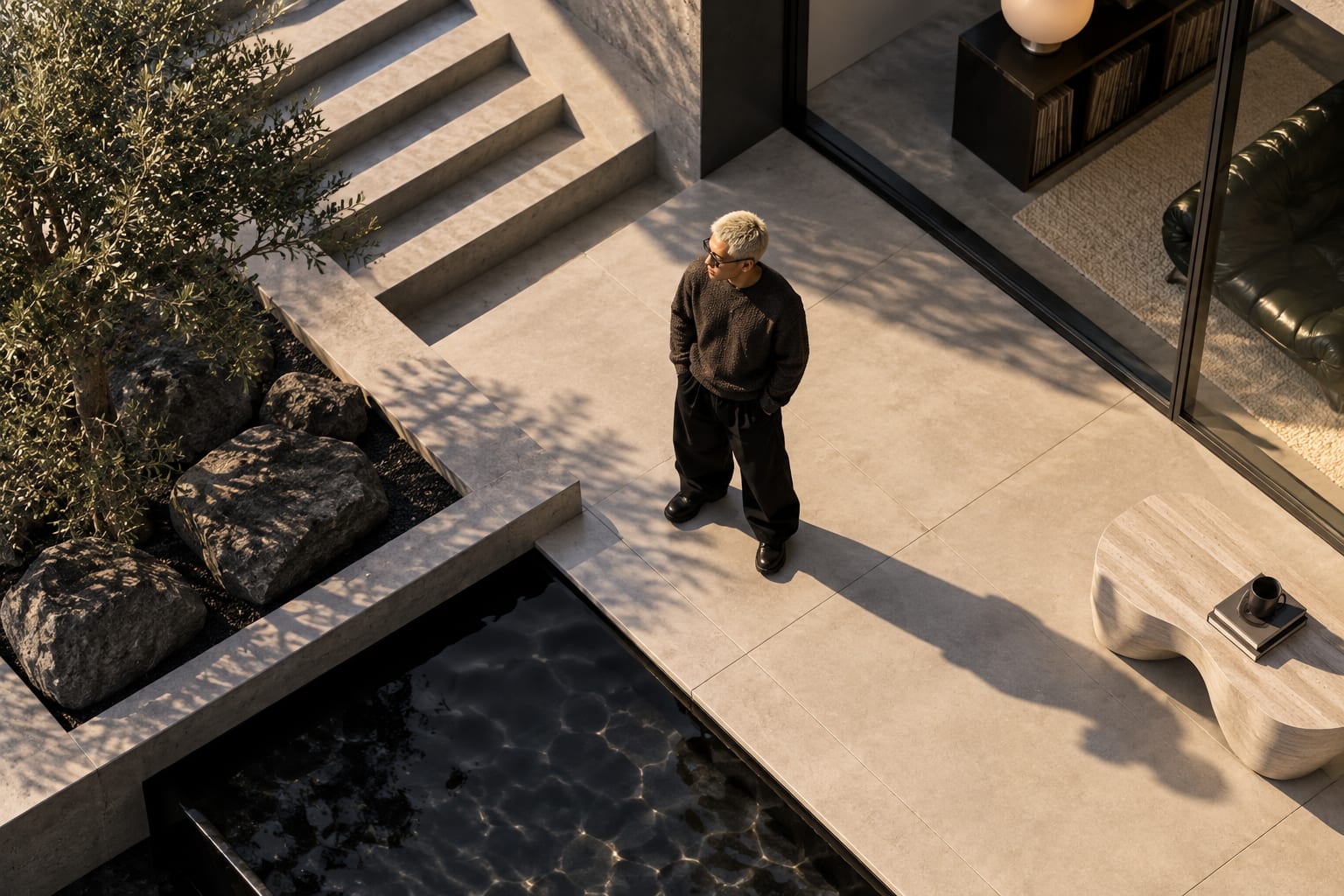
35% · Low aerial. Camera 30 to 50 metres up, about 40 degrees down; the site is laid out with the horizon near the top of the frame.
70% · High oblique. Camera around 100 metres up, about 60 degrees down; the landscape is pattern and the horizon leaves the frame.
100% · Vertical at altitude. Camera at altitude pointing straight down; no horizon, the ground a flat abstract map.
The physical relationship between lens and subject, before any lens or light is chosen.
- Height
- From roof height to the legal ceiling, typically 30 to 120 metres.
- Vertical angle
- Anywhere from a mild oblique of 20 degrees to straight down.
- Horizontal angle
- Free. The camera can orbit the subject at altitude.
- Relationship
- Absent. The viewer is nowhere a person could be.
- Distance
- Altitude sets everything: low aerials keep buildings as objects, high aerials turn them into texture.
Perspective, depth, scale and distortion: what changes in the picture when the camera is here.
- Perspective
- At oblique angles, buildings and trees converge downward and the ground recedes to a distant horizon; straight down, there is no convergence and the land is a map.
- Depth
- At oblique angles, immense; straight down, none.
- Scale
- Reduced to the point of abstraction. People are dots; cars are tiles; fields are colour.
- Distortion
- Wide lenses at altitude bend the horizon; the drone default focal length is slightly wide.
- Spatial feeling
- Omniscient and detached. God's eye, without the god.
What it tends to communicate
Tendencies, not laws. What the geometry usually reads as, and where that reading breaks.
Aerial awe has become aerial wallpaper. The view still works, but it is no longer surprising on its own; the subject and the light have to carry it.
Use it for
- Establishing a location
- Landscape, coast and agriculture
- Real estate and hospitality
- Site plans and construction
- Events and crowds
- Road and rooftop automotive work
Less suited to
- Portraits
- Product
- Interiors, obviously
- Anything that needs a human scale
It says
The same camera position asks for different things from a face, a shoe, a facade and a car.
Only as dots and shadows, or as a single figure on an empty field. Crowds become pattern; individuals become scale references.
Prompt phrasing
aerial view of a lone figure on an open field or beach from high above, the person tiny against the ground
The decisions that sit on top of the camera position and change what it produces.
How the lens changes it
Recommended: Wide, Normal. Aerial is establishing by nature. Tight aerials are texture studies.
- Ultra-wide · 14 to 20mm
- Horizon curvature and edge stretch; only for the widest panoramas.
- Wide · 24 to 35mm
- The drone default around 24mm equivalent: covers the site and keeps the horizon fairly straight.
- Normal · 40 to 60mm
- A cleaner, more compressed aerial that reads more like a photograph than a map.
- Telephoto · 85 to 200mm
- Rare on drones; on helicopters it compresses a city into a dense wall.
Composition
Which compositions this camera position rewards, and why the pairing works.
- Subject placement
- Graphic. At altitude everything is shape, and placement is layout.
- Horizon
- Oblique aerials put the horizon high in the frame or just out; verticals remove it.
- Foreground
- None in the usual sense; the nearest ground is already far away.
- Background
- The receding land or sea. In vertical aerials, the ground is everything.
- Negative space
- Water, sand, snow and empty fields as huge flat colour fields around a small subject.
- Geometry
- Pattern, grid and texture. Roads as lines, fields as blocks, waves as stripes.
Light
- Low sun rakes across the landscape and throws long shadows that give the flat view its relief.
- Midday sun flattens everything into a map, which suits vertical pattern shots and kills oblique ones.
- Water and glass reflect the sky; plan for it or use it.
Motion
The descending orbit that ends at eye level is the aerial's signature move: from map to person in one shot.
A view is where the camera is. A movement is where it goes. They combine.
Read from the shot lists in each style's photo brief, not assigned by hand. A style is here because its own brief asks for this camera.
No style's photo brief names this view yet. When one does, it will appear here on its own; nothing is assigned by hand.
The failures that make this camera position read as an accident rather than a decision.
- The drone cliché: another beach, another forest road, another orbit. The view no longer surprises on its own.
- Midday light on an oblique aerial, which flattens the relief.
- Altitude for its own sake, which turns the subject into noise.
- Horizon curvature and edge stretch from wide lenses at the frame edges.
Negative guidance for a model
Prompt language
Geometry, not labels. Models read camera words inconsistently; they read positions the same way every time.
Nearby views
Contrast with
The opposite decisions. If this view is wrong for the picture, one of these is usually right.
In the knowledge graph
Questions
What is the difference between an aerial view and an overhead?
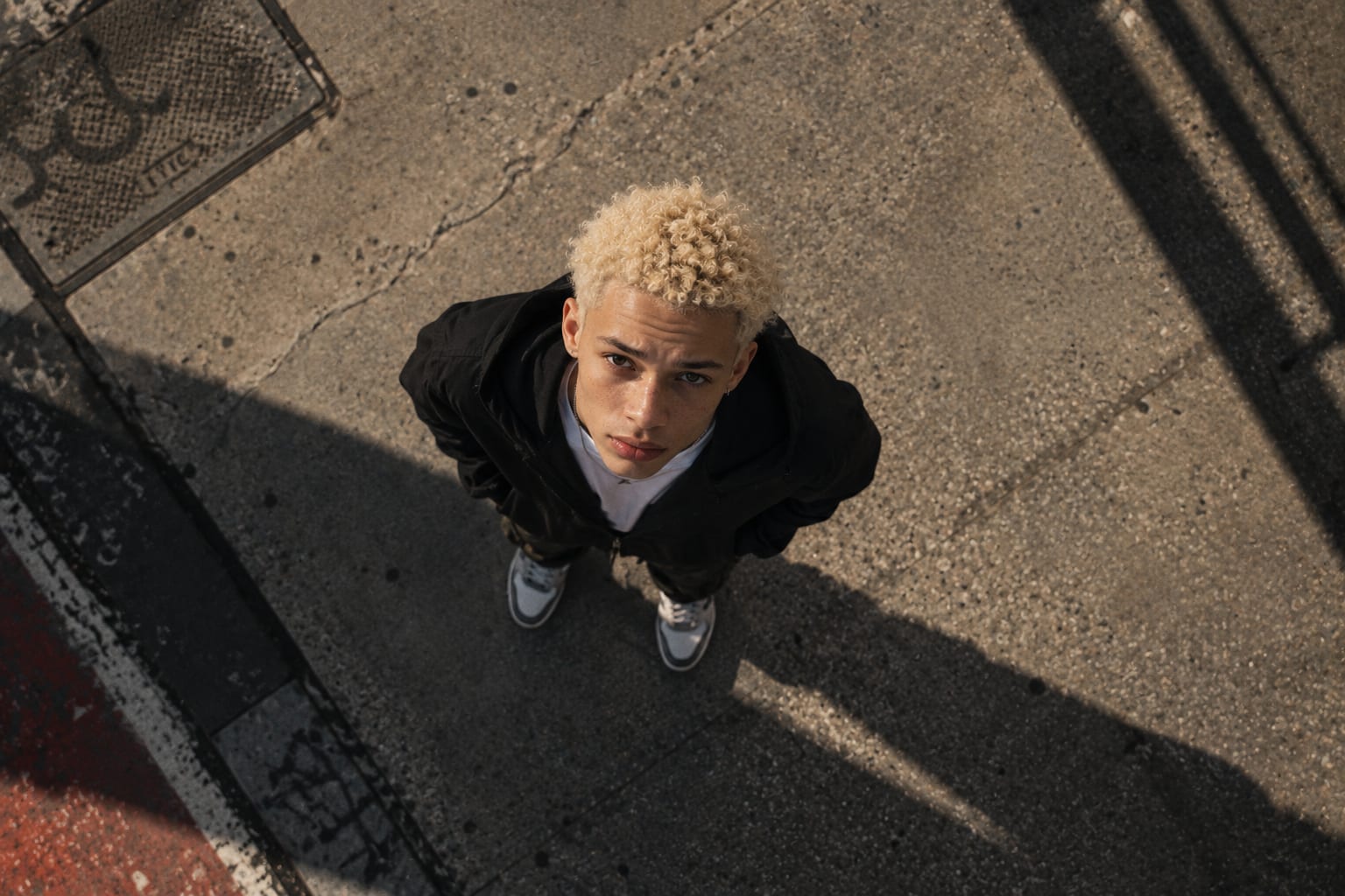
Overhead is the camera directly above a subject at any height, usually close, pointing straight down. Aerial is the camera airborne at altitude, looking down at any angle from oblique to vertical. A vertical aerial is an overhead at landscape scale; an oblique aerial is a very high high angle.
What angle should a drone shoot at?
It depends on what the scene is for. Around 30 to 45 degrees down keeps buildings as objects and the horizon in frame, which suits establishing shots. Straight down removes the horizon and turns the land into a map, which suits pattern and abstraction.
When does an aerial view not work?
When the picture needs a human scale, a face or a product. From altitude everything becomes pattern, which is the point and also the limit. If the subject is a person or an object, the drone is the wrong tool.